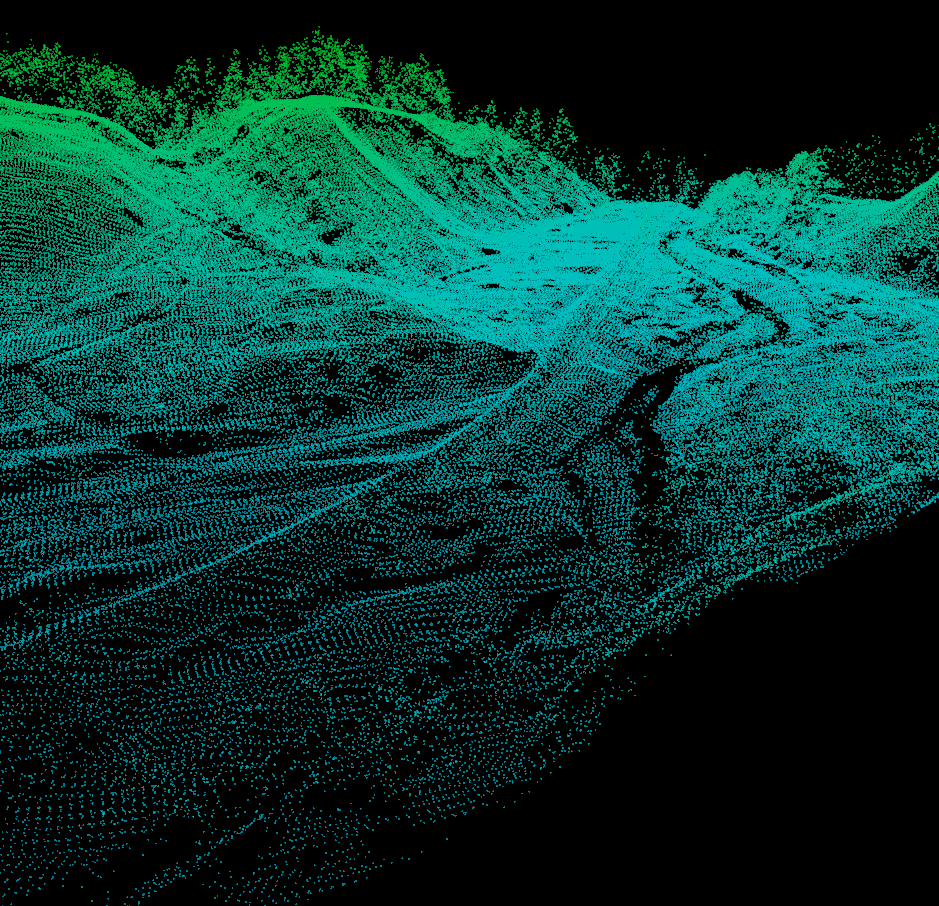
 So, I've been helping get an Earth Science graduate student going on some change detection work with some lidar data from the State of Vermont. As we were going through some of the sample datasets an interesting, yet not surprising, realization came over us...several of the datasets were in different projections. So we set out to find a simple way to convert the raw LAS files from lovely Vermont State Plane coordinates in feet (both horizontal and vertical) to the infinitely useful UTM with meters all around.
There are several options out there, but I rediscovered an old standby, the National Geodetic Survey's VDATUM tool.
Here are some of the other options out there:
- ENVI/IDL - the BCAL Lidar plugin is a great tool if you have ENVI, but it only handles horizontal coordinate transformations.
- ArcMap - in the version 10 world you could import LAS files to LAS dataset and reproject, but that still leaves the raw LAS file in its native projection.
- ERDAS 2014 - has a define/reproject tool, but it's not very transparent.
- LP360 - can reproject LAS files, but the $ for a licence was outside our scope.
One of the great things about VDATUM is that it is platform independent (PC, Mac, etc.), since it's just a lightweight Java program. It does both horizontal and vertical transformations from and to all the major datums/projections, as well as quite a few lesser known ones. VDATUM has an excellent user guide so I won't go into the details.
Happy Reprojecting!
Good post
ReplyDeleteOnsite is a provider of high resolution, top quality, cost-effective lidar mapping services. We have the experience and proven technology and methodology, to manage any size project, anywhere in the world. If you want to take our service, please contact with us. lidar Calgary, Alberta
ReplyDelete