Now that I'm down with my dissertation, it's time to make some improvements...I've added two new pages to my site: Publications and Software. I'll be updating these periodically with my pubs and some of the software/code that's floating around.
Both of these new pages have been added to the navigation tabs at the top of the page.
Enjoy!
Tuesday, December 23, 2014

Thursday, December 4, 2014
LiDAR datum transformations
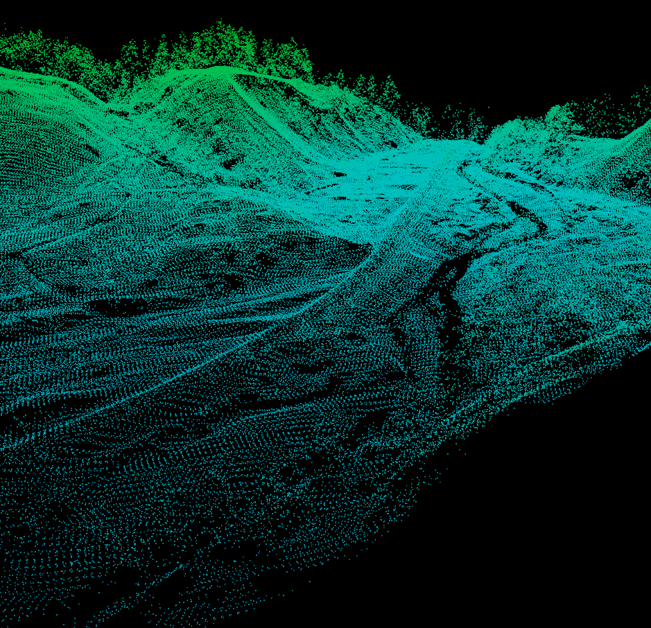 So, I've been helping get an Earth Science graduate student going on some change detection work with some lidar data from the State of Vermont. As we were going through some of the sample datasets an interesting, yet not surprising, realization came over us...several of the datasets were in different projections. So we set out to find a simple way to convert the raw LAS files from lovely Vermont State Plane coordinates in feet (both horizontal and vertical) to the infinitely useful UTM with meters all around.
There are several options out there, but I rediscovered an old standby, the National Geodetic Survey's VDATUM tool.
Tuesday, November 25, 2014
Online Point Cloud Viewer (Finally!!!)

The viewer is by Markus Schütz over at potree.org. It only took a little while to get the code up and running.
Thursday, October 23, 2014
Vermont and New Hampshire Rivers and Lakes in Google Earth
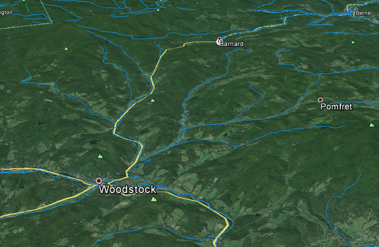
National Hydrological Dataset (NHD) Google Earth layers for Vermont and New Hampshire
Download:
Vermont and New Hampshire NHD Google Earth Layers
There are three files:
- Named Streams
- Named Waterbodies
- Unnamed Streams (this one is big)
Tuesday, October 21, 2014
SfM Fly Throughs
Two new flythroughs from some recent work. The first is all in 3D (red/cyan anaglyph) and is a recent talk I gave as part of the 2014 Neukom Institute Dinner. The second is from some recent work in Massachusetts, the first half of the video is 2D and the second-half (jump to 2:08) is in 3D.
I would definitely recommend viewing full screen. Double-check to make sure the resolution is set to 1080. Depending on your browser you may need to click the YouTube button to "Watch on YouTube.com" to be able to get to full screen.
The data for these were produced with Agisoft Photoscan Pro and the fly throughs were made with Bentley Pointools.
I would definitely recommend viewing full screen. Double-check to make sure the resolution is set to 1080. Depending on your browser you may need to click the YouTube button to "Watch on YouTube.com" to be able to get to full screen.
The data for these were produced with Agisoft Photoscan Pro and the fly throughs were made with Bentley Pointools.
Subscribe to:
Posts (Atom)