Showing posts with label LiDAR. Show all posts

Monday, October 16, 2017

Filtering LiDAR data by height above ground

For this tutorial we will be using CloudCompare (version 2.8, cloudcompare.org)

Lidar point clouds normally come with elevations above sea level (or some other datum), which is 
extremely useful. However, we can convert the Z-values into a height above the ground as way to add another layer of data so that we can measure things like average tree heights, examine building heights., or (one thing I do a lot) filter the points to so that we only see points in a specific height range above the ground. This last application is what we'll be covered here and it's really useful to examine river channels below dense vegetation.

Thursday, December 4, 2014

LiDAR datum transformations

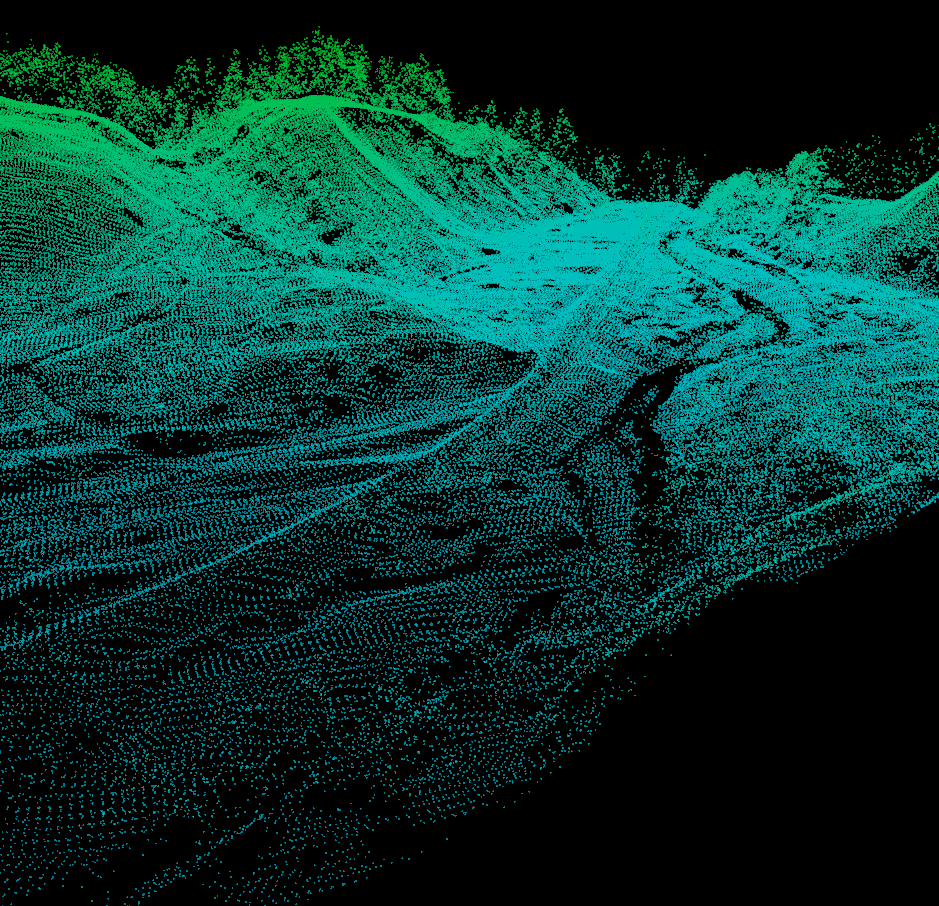
A stretch of the Roaring Branch of the Walloomsac River near Bennington, VT. So, I've been helping get an Earth Science graduate student going on some change detection work with some lidar data from the State of Vermont. As we were going through some of the sample datasets an interesting, yet not surprising, realization came over us...several of the datasets were in different projections. So we set out to find a simple way to convert the raw LAS files from lovely Vermont State Plane coordinates in feet (both horizontal and vertical) to the infinitely useful UTM with meters all around.

There are several options out there, but I rediscovered an old standby, the National Geodetic Survey's VDATUM tool.

Tuesday, November 25, 2014

Online Point Cloud Viewer (Finally!!!)

I finally found what I been wanted since I started collecting 3D datasets 4-ish years ago, an efficient online point cloud viewer!

The viewer is by Markus Schütz over at potree.org. It only took a little while to get the code up and running.


Tuesday, December 17, 2013

Mobile LiDAR / Point Cloud Veiwer

Cover art
Just a quick post on something I found just in time for AGU, a mobile LiDAR / Point Cloud viewer app for Android (Google Play). I've been searching for an app like this since I started creating 3D datasets.


It works best with LAS files, which for Structure-from-Motion point cloud data you can export LAS files from CloudCompare. It seemed to have a problem with UTM coordinates (probably to a decimal precision cut off), but if you export the data in a "local" coordinate system it works beautifully. I also tried it on some OpenTopography LiDAR data and it works just fine.