Showing posts with label ArcGIS. Show all posts

Thursday, October 23, 2014

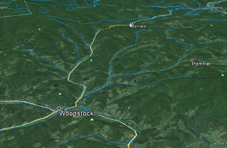
Vermont and New Hampshire Rivers and Lakes in Google Earth


National Hydrological Dataset (NHD) Google Earth layers for Vermont and New Hampshire

Download:
Vermont and New Hampshire NHD Google Earth Layers

There are three files:
  1. Named Streams
  2. Named Waterbodies
  3. Unnamed Streams (this one is big)


Monday, October 21, 2013

PyScripter for ArcGIS 10.2

This tutorial is for my GEOG 490 students. I hope others find use in it too.


PyScripter is another Python GUI (Graphical User Interface) similar to the ones we've been using in class (IDLE and PythonWin). PyScripter has several advantages over these other programs, mainly the ability to auto-complete ArcPy, which really speeds things up.